 Skip to content


Marine Surveys
Our comprehensive marine survey services ensure precision and reliability for a variety of maritime needs, whether you require detailed underwater mapping or geological data.

Hydrographic Surveys:
We offer dedicated boat services to support your hydrographic survey needs. Our vessels are equipped with advanced navigation systems and provide a stable platform for you to carry out detailed underwater mapping.
With our crew handling the logistics, you can focus on collecting high-resolution data on seabed composition, water depth and submerged features.
We have been contracted by many companies to help with a broad range of surveys for the marine sector.
Some of our clients include:
- Waterford Harbour: Assisted in comprehensive underwater mapping to enhance navigational safety and planning.
- Baginbun Greenlink Interconnector: Facilitated precise data collection for the underwater cable route survey, ensuring accurate seabed characterisation.
- Rosslare Harbour: Supported detailed surveys of the port area to aid in development and maintenance projects.
- Dutch Dredging Company: Provided logistical support for dredging operations, contributing to efficient and effective project execution.
Our team and experience ensures you can conduct your surveys efficiently and accurately, no matter the scope of your project.

Seismic Surveys:
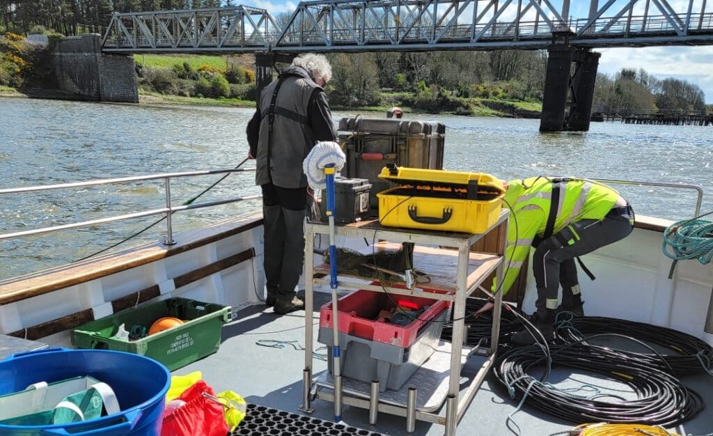
Our boats are perfectly suited for seismic survey operations, providing a reliable and steady platform for your geological data collection. Whether you’re conducting oil & gas exploration or environmental studies, we ensure a smooth and efficient process.
Our crew is always on hand to assist with deployment and retrieval of seismic equipment, allowing you to concentrate on analysing subsurface structures and stratigraphy.
We have successfully supported various seismic survey projects, including:
- Minerex Geophysics: Assisted with their Marine and transition zone geophysical surveys for maritime and coastal projects.
- New Ross/Barrow Bridge: Provided essential logistical support for accurate data collection in these critical areas.
Other Surveys:
- EPA Water Sampling: Supported environmental monitoring efforts by facilitating water sampling trips for the Environmental Protection Agency, ensuring precise and efficient data collection.
- Inland Fisheries Ireland: Provided tailored boat services for fisheries research, surveys, and other activities.
Still Have Questions
If you didn’t find the answer you were looking for, please fill out our contact form, and a member of our team will reach out to assist you with reserving your next charter.
